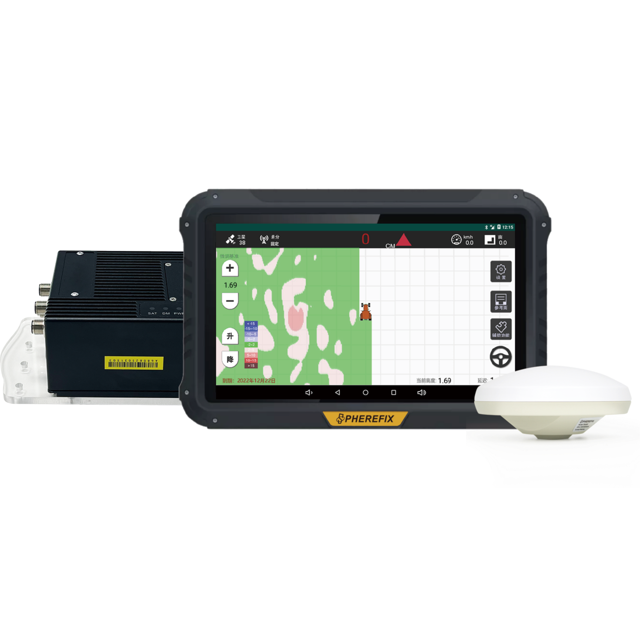
TOP
SAG20
External Digital Radio

SAG20 Agricultural Satellite Land Leveling System is a high-precision navigation tool for agricultural machinery. It uses GPS and GLONASS signals to provide exact positioning and control for graders, enabling 24/7 operation over large areas (up to 30 km). Key features include multi-machine synchronization, automatic terrain recognition, real-time mapping, route planning, and cloud-based management. It works with various blades to deliver efficient and accurate leveling on complex land, making it ideal for precision farming and other sites like construction projects.

CHARACTERISTIC
SPECIFICATIONS
DOWNLOAD
Comprehensive Network Signal Coverage
Multi-Purpose System Integration
24/7 Continuous Operation
Auto-Height Control & Smart-Benchmarking
SYSTEM COMPOSITION

SAG10组成主图.png.png

OTHER FEATURES
It ensures that land is leveled to a uniform plane, achieving precise and consistent grading.
It provides real-time visualization of agricultural machinery operation trajectories and terrain elevation maps, enabling precise and visible land leveling.
The intelligent display tablet features a 10.1-inch high-definition screen with multi-touch instant response. It is water-proof, dust-proof, and shock-proof.
The ECU controller enables multi-system control and real-time monitoring and adjustment of sensors.