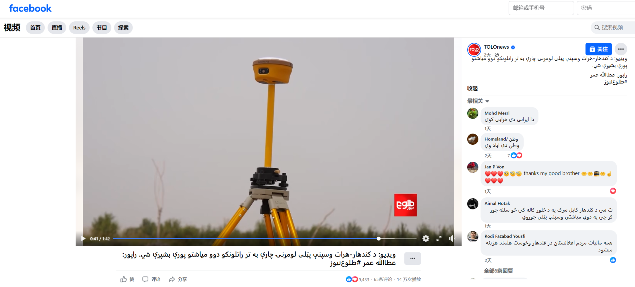
Guangzhou, 30 July 2025 – During a recent TOLOnews segment on the proposed Herat–Spin Boldak railway, viewers saw Afghan survey teams using Spherefix GNSS receivers to mark control points along the 800-kilometre corridor.
https://www.facebook.com/share/v/1C9irQ8Ebf/
The feasibility study, detailed survey and design contract has been awarded to Arya Khan Afghan Road Construction Logistic & Engineering Company (AKARCL). The firm’s survey crew is pairing Spherefix multi-frequency receivers with drones to collect topographic data. A base station transmits RTK corrections to both the drone and handheld rovers, allowing the team to achieve centimetre-level positioning for their ground-control network.


According to AKARCL’s survey manager, the receivers have maintained lock in the open desert sections between Herat and Kandahar and have reduced the time needed to establish each control point compared with earlier optical methods. The resulting data will feed directly into the corridor’s final alignment and earthwork quantities.
Since its launch, the Spherefix GNSS receiver line has expanded to more than 50 countries countries and regions, serving government mapping agencies, engineering consultancies and construction contractors alike. Users consistently highlight its rapid convergence, robust multipath rejection and straightforward workflow. The Afghan railway project is only the latest success story; we have received an ever-growing stream of positive feedback from survey teams worldwide. For first-hand testimonials and field case studies, please refer to the Spherefix YouTube channel https://youtube.com/playlist?list=PLHHfXcS-cb5CtEXUCQHCnKdQ7kP5LpC_S&si=X6Hb0s_SZAbuUHf5.


