@4x-1-scaled-120x22.png)
Where it fits
- Autonomous steering product selection
- Agricultural land leveling discussions
- Dealer portfolio planning for farm customers
Precision agriculture solution
Plan steering, land leveling and GNSS-supported field operation products with a clearer path for farm projects, local dealers and procurement teams.
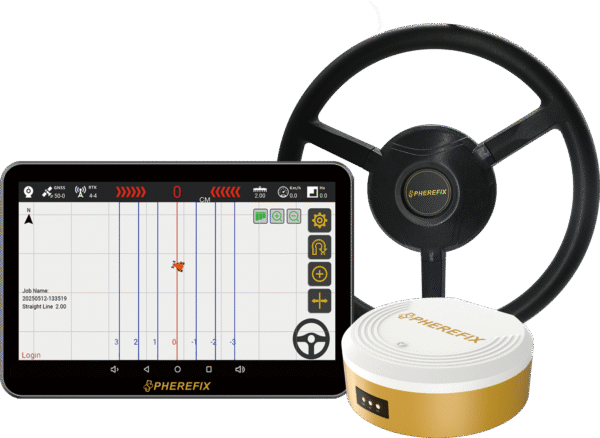
Recommended product path
For autonomous steering product selection and farm workflow review.
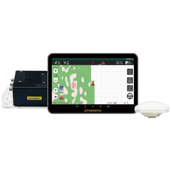
For agriculture land leveling and field preparation discussions.
Yes. Share the target field workflow and vehicle or implement details so Spherefix can recommend the relevant agriculture product path.
No. Spherefix prepares quotations after confirming region, product configuration, quantity and support needs.
Yes. Dealers can request brochures, product details and configuration guidance through the Spherefix inquiry form.
Use this page to understand the agriculture workflow, then review the related SAG product pages for model-level details.
Spherefix does not publish public project pricing. Share your region, application, model interest and quantity so the team can recommend the right product path.
Contact Spherefix