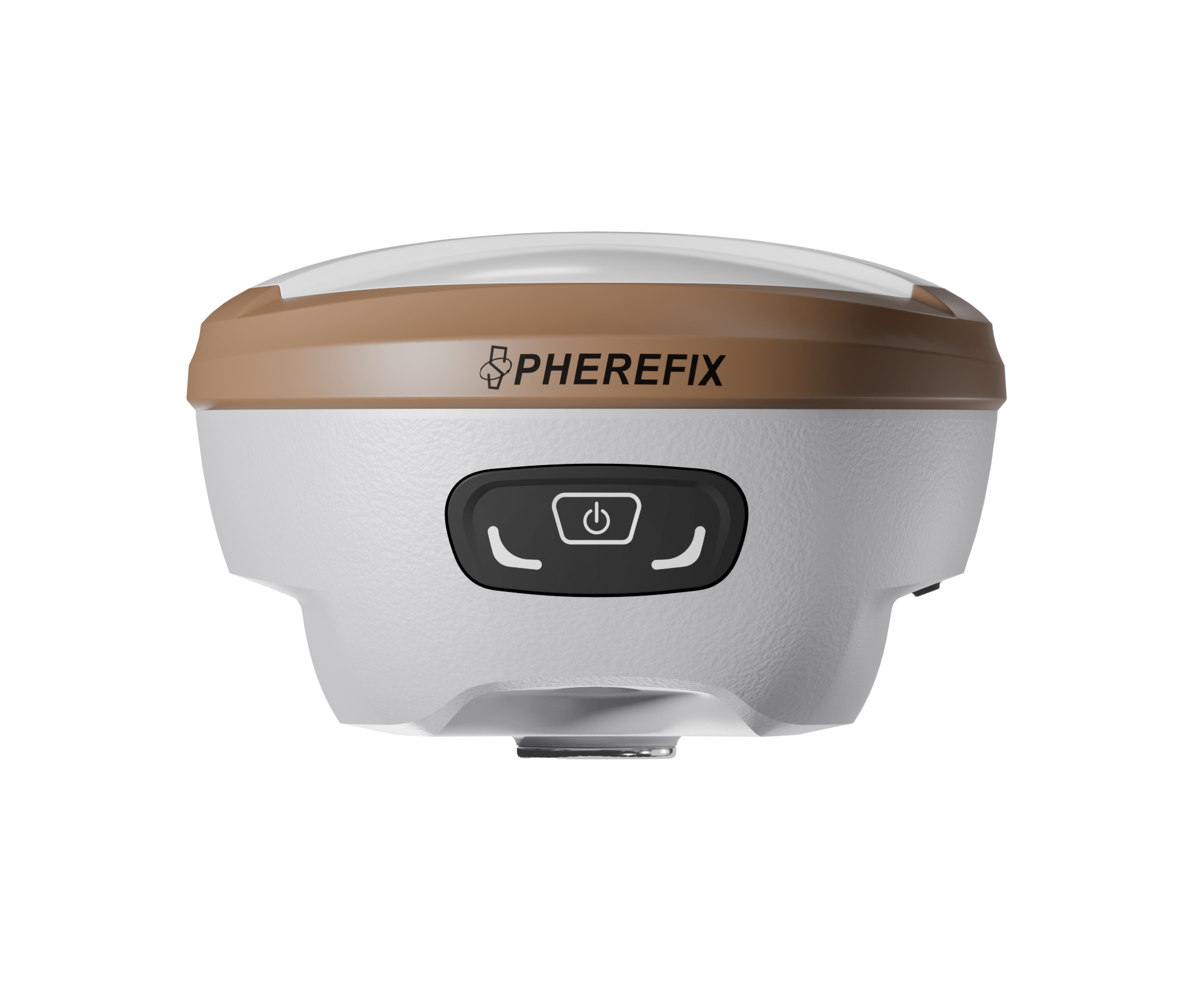
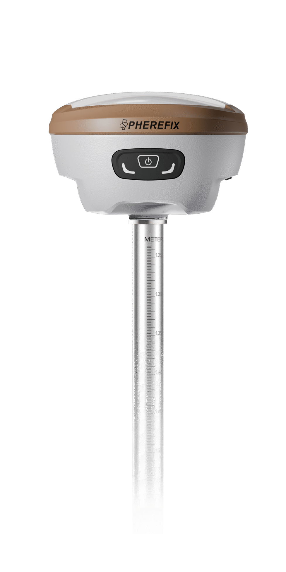
SP35 GNSS Receiver
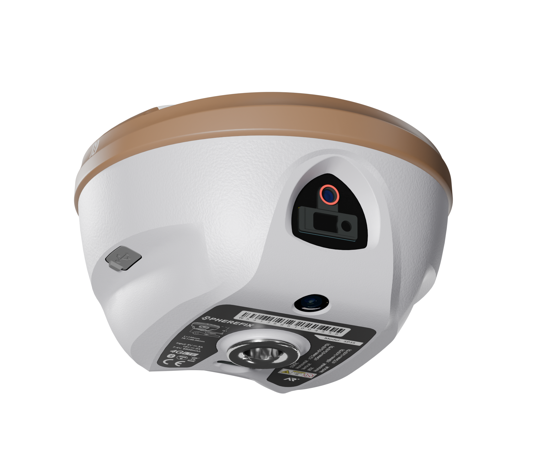
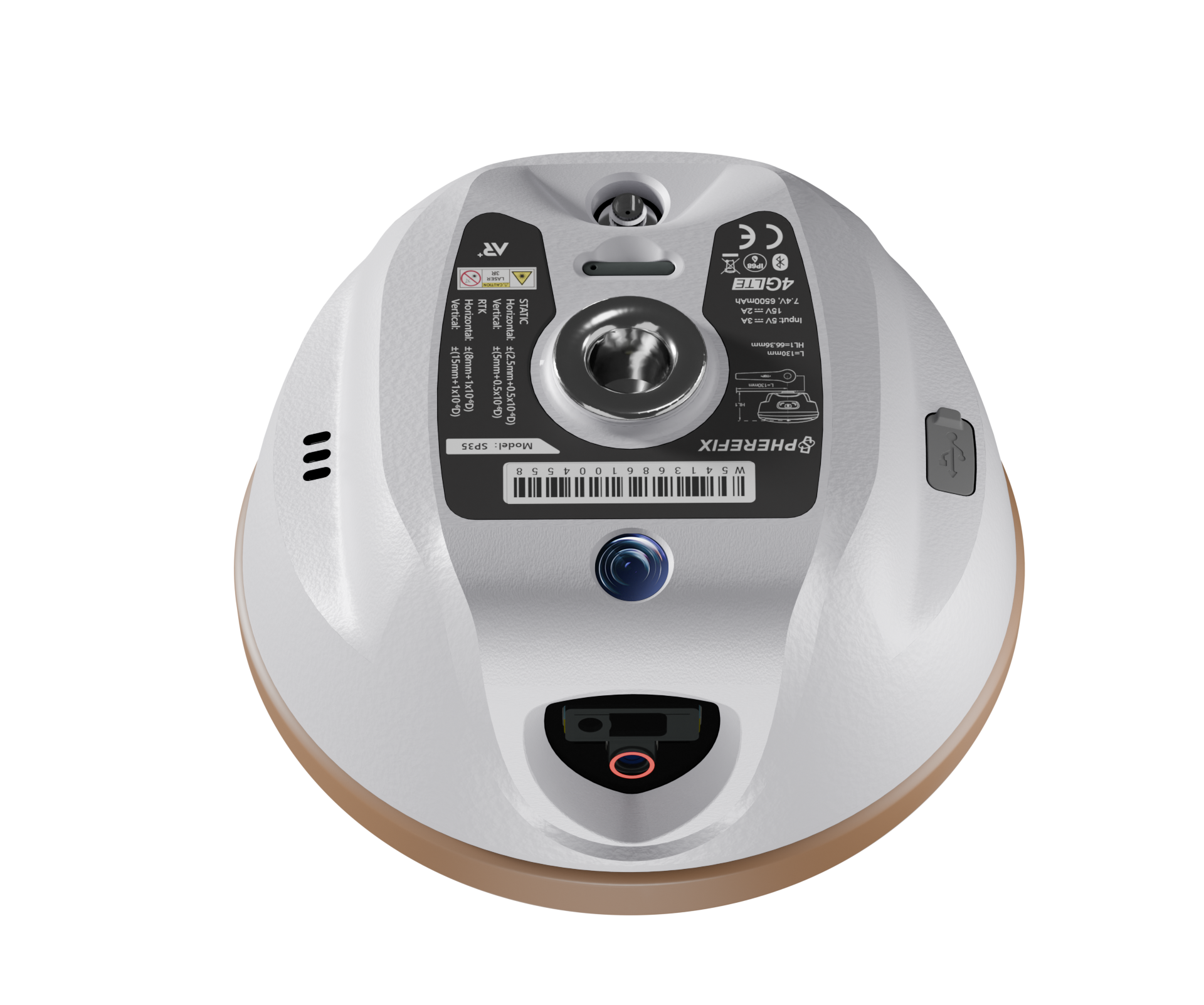
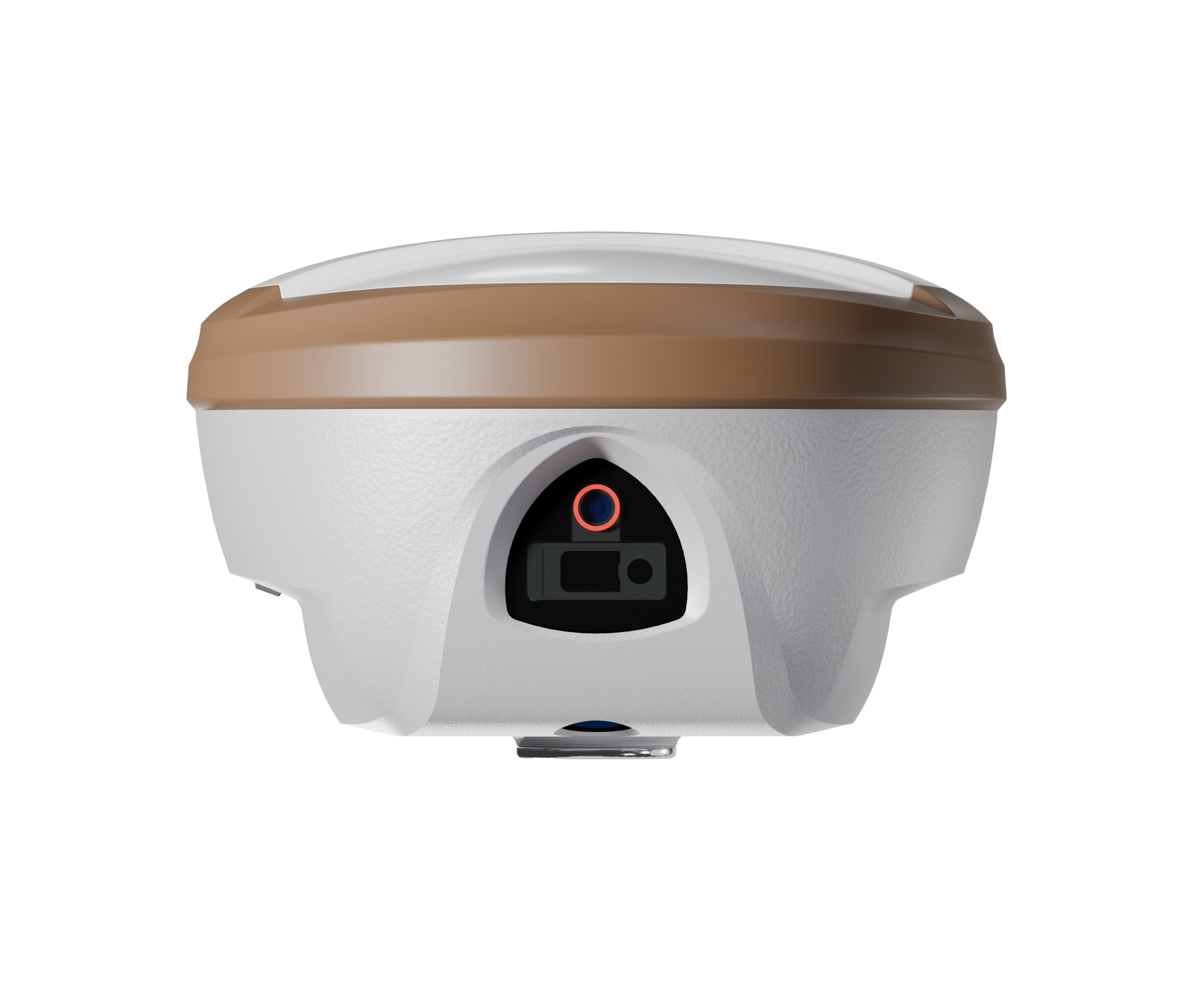
SP35 is a compact, portable multi-band GNSS receiver featuring integrated AR real-scene stake out and laser surveying modules. Its high-precision positioning module tracks all-frequency satellite signals for centimeter-level accuracy. With full-network 4G, Bluetooth, Wi-Fi, and 1.5W LoRa Radio, it extends communication range significantly. The built-in tightly coupled IMU and camera-assisted laser measurement, combined with AR technology, enable visualized real-time surveying in complex environments.

Receive All Satellite Signals
SP35 integrates high-precision positioning module, configures 1408 high-speed channels, supports BDS B1I, B2I, B3I, B1C, B2a, B2b(PPP-B2b), GPS L1C/A, L1C, L2C, L5, GLONASS L1, L2, L3, Galileo E1, E5a, E5b, E6(PPP-E6), QZSS L1, L2, L5, SBAS and NavIC(IRNSS).

AR real-scene stakeout
Professional ultra-wide-angle camera, providing high-definition real-scene staking function, and more convenient real-scene stakeout application, makes your stakeout easier and more intuitive.

Camera-assisted Laser surveying
SP35 integrates a camera-assisted high-precision millimeter-grade laser ranging module with high-accuracy IMU, expanding measurement capabilities to operate free from complex environmental constraints.

Lightweight & Portable Design
Combining a magnesium alloy shell and plastic top cover with compact internal layout, SP35 achieves an ultra-light 780g weight. Engineered for field use, it maintains accuracy while enhancing field mobility.
")
