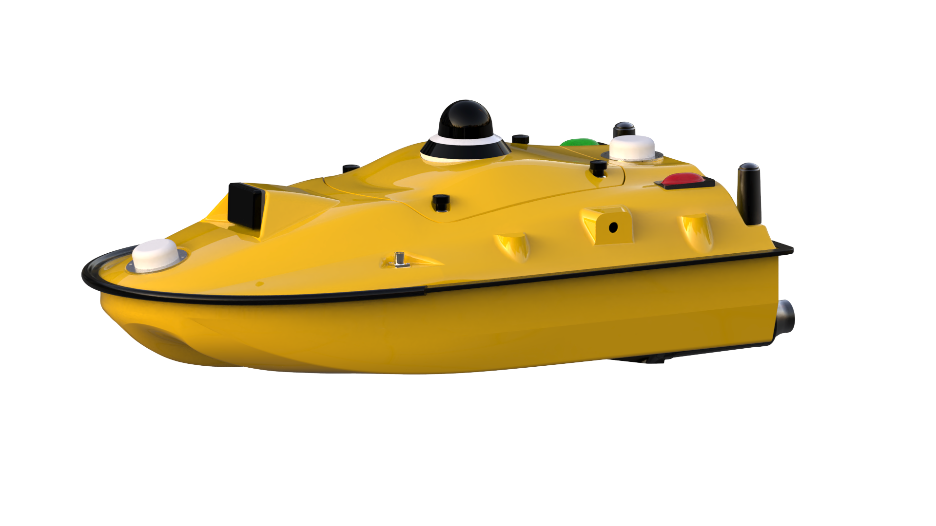
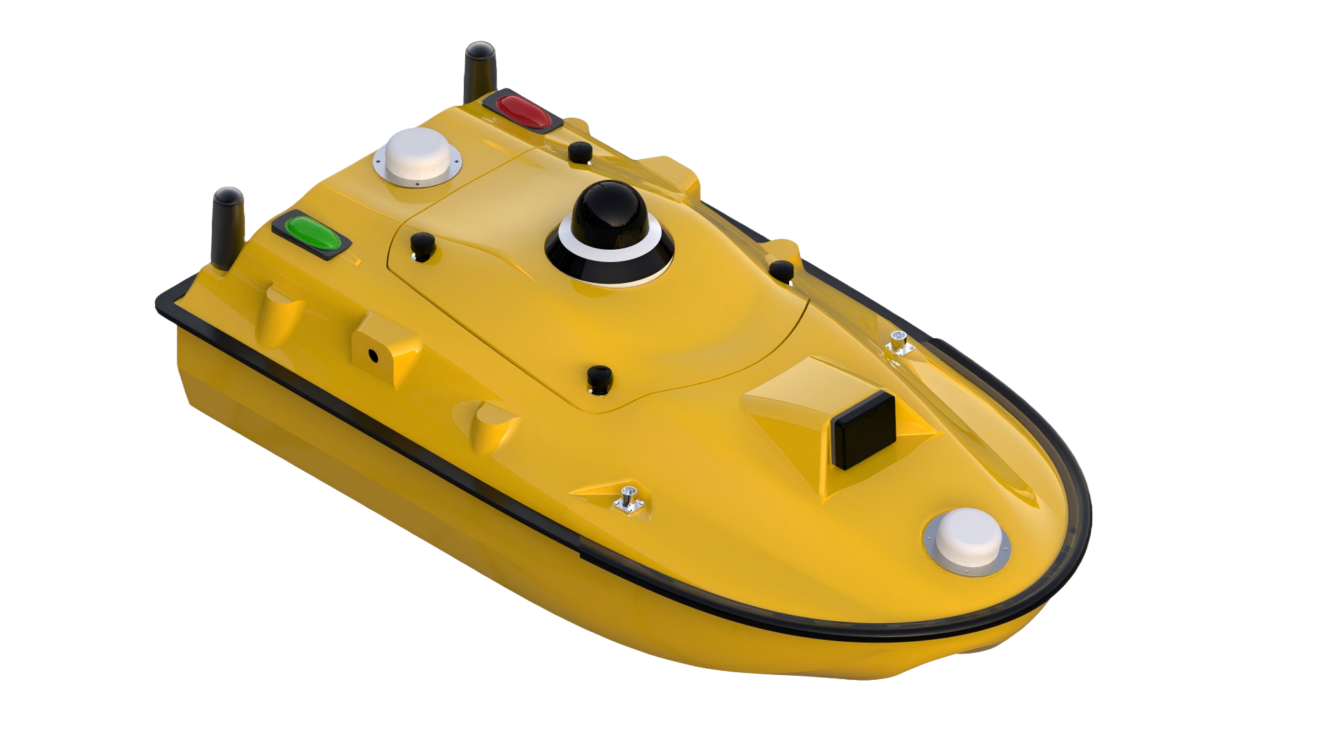
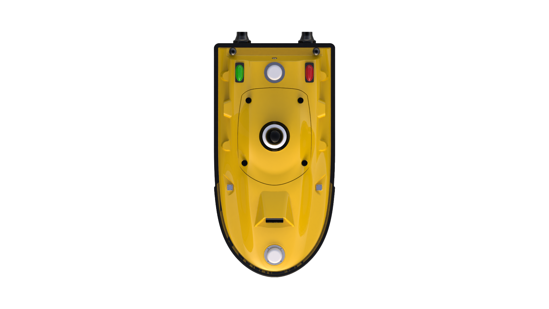
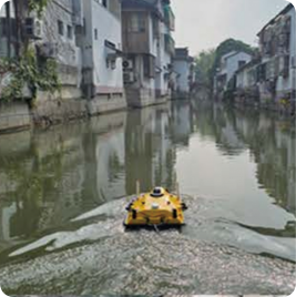
SPCraft5 Unmanned surface vessel(USV)
SPCraft5 is a multifunctional unmanned surface vessel (USV) developed by Guangzhou Spherefix Navigation Technology Co., Ltd. Built for underwater surveying, patrol and reconnaissance, and water-quality monitoring, it integrates a proprietary intelligent control system and supports payloads such as echo sounders, side-scan sonar, and water-quality sensors. Featuring high automation, strong anti-interference performance, and solid expandability, SPCraft5 works seamlessly with iSail to deliver end-to-end data acquisition and analysis—offering a safer, more efficient, and more precise solution for diverse water environments.
CHARACTERISTIC

Integrated Portable Design

High-Precision Intelligent Control

Long Endurance & Powerful Propulsion

Multi-Functional Expandability
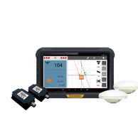
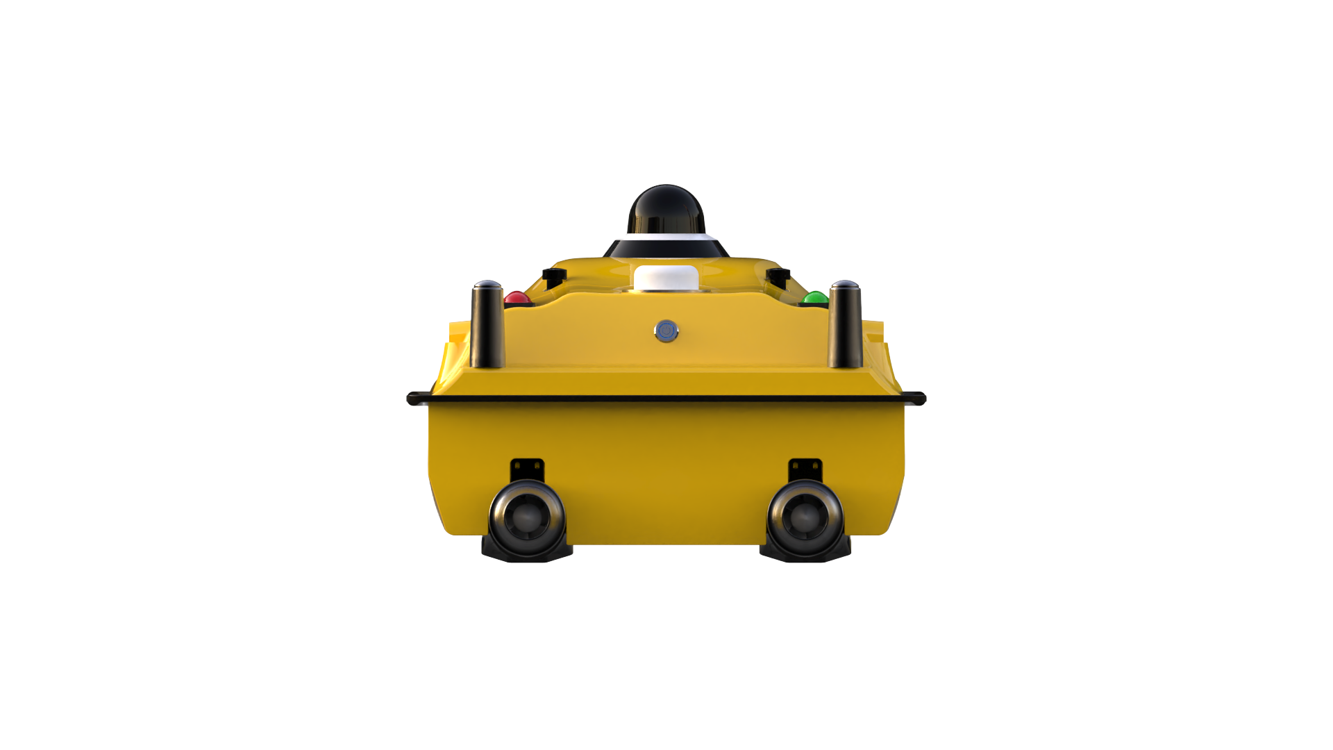
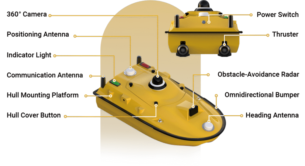
SYSTEM COMPOSITION
OTHER FEATURES

Dual protection: omnidirectional bumpers with anti-sink design.
Intelligent safety: collision avoidance & auto-reverse in shallow water.

7″ controller: 1080P HD video, 3 km range (unlimited via 4G).
Remote control endurance: up to 8 hours.

PPK post-processing with attitude & tidal correction enhances data accuracy.
AI target recognition improves processing efficiency.

Plug-and-play propulsion & hot-swappable battery for uninterrupted operation.
Open interfaces enable flexible payload integration and secondary development.
APPLICATION SCENARIO
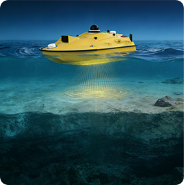
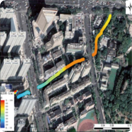
Water Depth Measurement
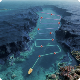
Water Quality Sampling
Water Quality Monitoring
")
")