Applications
Spherefix GNSS, RTK, agriculture, construction, hydrographic survey and monitoring application pages.
 Surveying & MappingTopographic, cadastral and control point survey workflows.
 Construction & EngineeringSite layout, as-built checks and machine-control positioning.
 GIS & Spatial DataData collection, asset management and map-based field records.
 Precision AgricultureGuidance, planting and field mapping for farm automation.
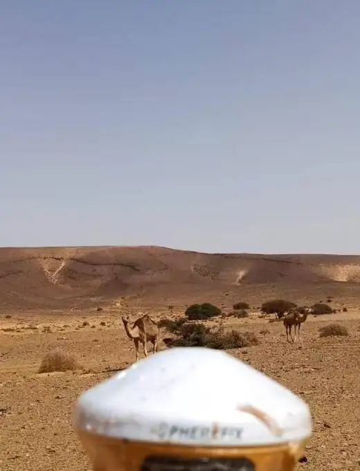
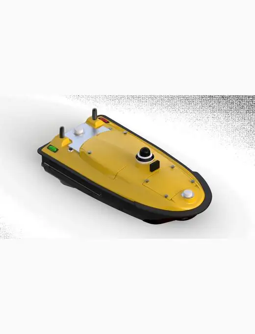 Hydrographic SurveyBathymetry, shoreline work and USV survey projects.
 Infrastructure MonitoringDeformation, displacement and long-term monitoring workflows.
Select an application scenario to open the corresponding use-case page and connect the workflow with recommended Spherefix products.