



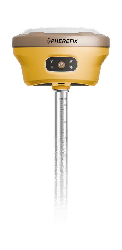
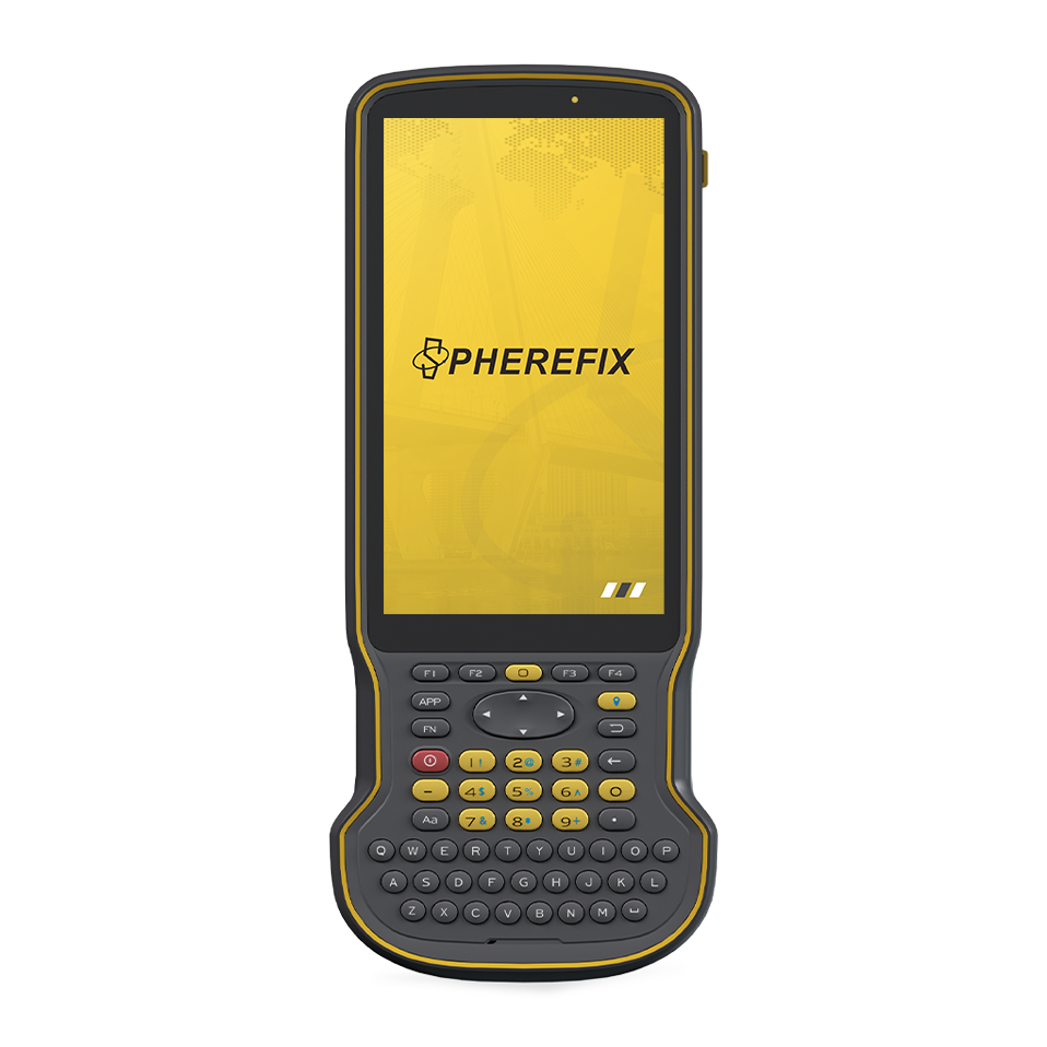
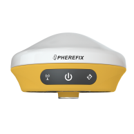
SP30 GNSS Receiver

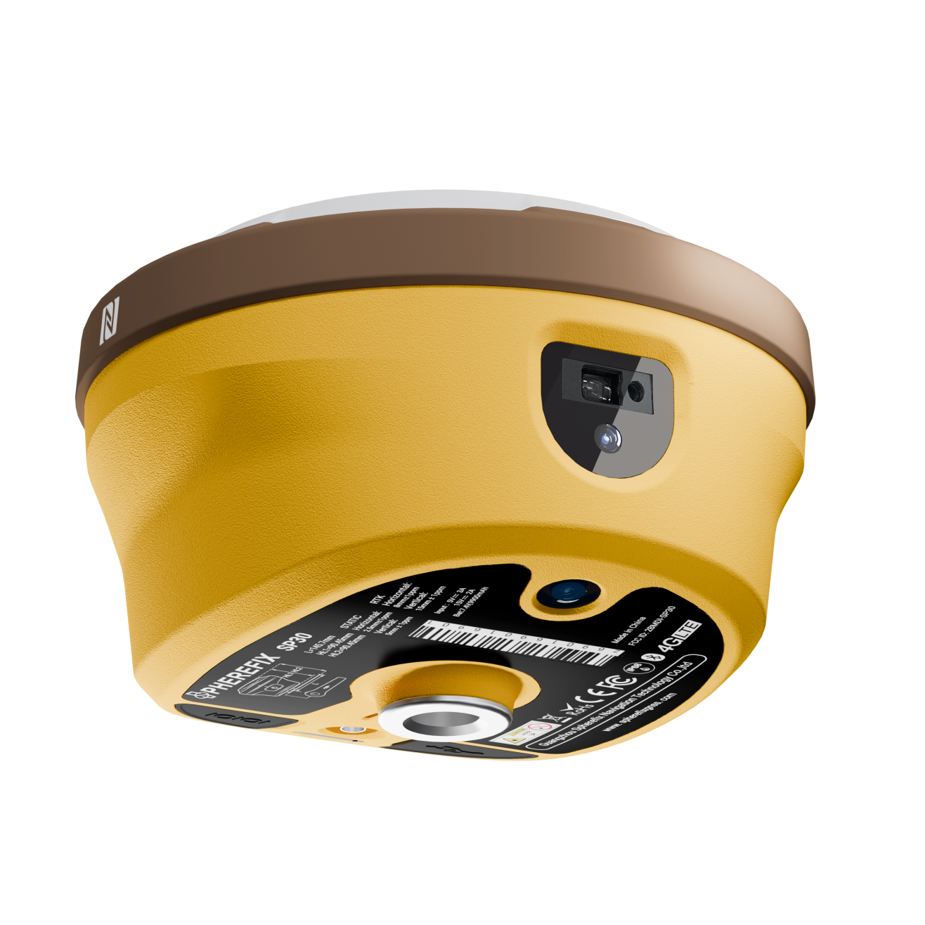
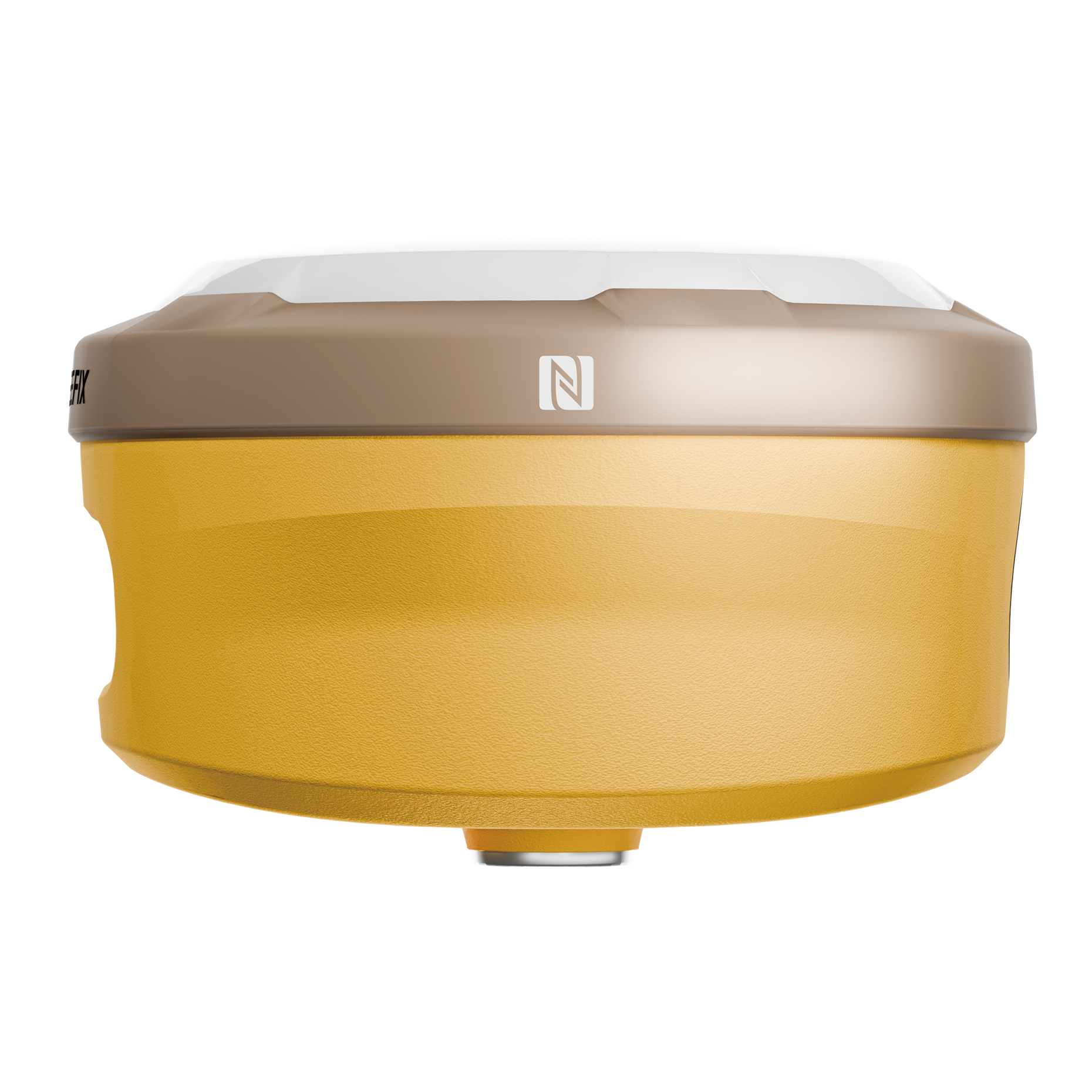
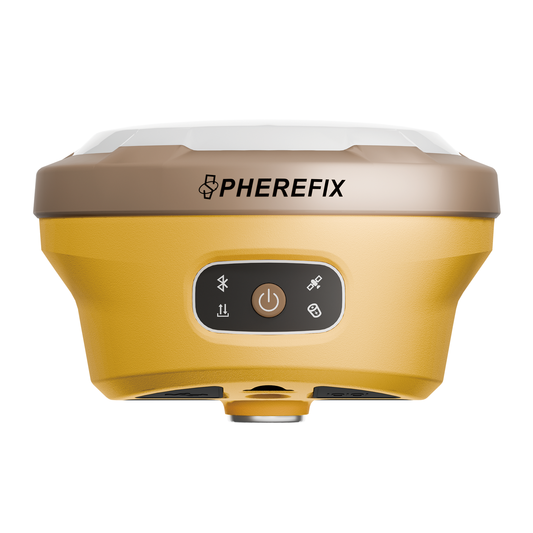
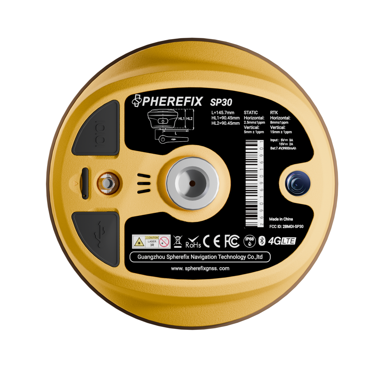
SP30 is a multifunctional GNSS receiver integrating AR and laser modules. It features a built-in high-precision positioning module that supports satellite signal tracking across all frequencies. It is equipped with 4G full network access, Bluetooth, Wi-Fi, and a 5W LoRa radio. Its built-in high-precision inertial navigation module, AR real-scene staking module, and camera-assisted laser measurement module provide a premium “what you see is what you measure” measurement experience.

Spherefix GNSS receiver and surveying equipment image

Receive All Satellite Signals

SP30 integrates high-precision positioning module, configures 1408 high-speed channels, supports BDS B1I, B2I, B3I, B1C, B2a, B2b(PPP-B2b), GPS L1C/A, L1C, L2C, L5, GLONASS L1, L2, L3, Galileo E1, E5a, E5b, E6(PPP-E6), QZSS L1, L2, L5, SBAS and NavIC(IRNSS). 

Spherefix GNSS receiver and surveying equipment image

AR real-scene stakeout

Professional ultra-wide-angle camera, providing high-definition real-scene staking function, and more convenient real-scene stakeout application, makes your stakeout easier and more intuitive.

Spherefix GNSS receiver and surveying equipment image

Camera-assisted Laser surveying

SP30 is equipped with a high-precision millimeter-level laser ranging module equipped with photography assistance, combined with the high-precision inertial navigation, to achieve measurement anywhere and better cope with various complex environments.

Spherefix GNSS receiver and surveying equipment image

Ultra-long endurance

The built-in large-capacity battery enables it to operate continuously for more than 24 hours in the Rover mode.

Spherefix GNSS receiver and surveying equipment image

SYSTEM

Hardware System

ARM Cortex-A7

OS

Linux

GNSS

GPS | GLONASS | BDS | GALILEO | QZSS | SBAS | NavIC (IRNSS)

Data update frequency

20Hz(max)

Channel

1408

DATA COMMUNICATION

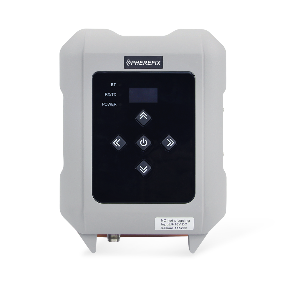
Bluetooth | WIFI | Radio | Network

AR CAMERA

AR Real Scene Stakeout

Sensor Size

1/2.8 inch

Aperture

f/2.5

Pixel

1920*1080

Angle of view

D: H: V:

Distortion

<0.38%

LASER AIMING CAMERA

Camera-assisted Laser surveying

Sensor Size

1/3.06 inch

Aperture

f/2.9

Pixel

4224*3200

Angle of view

D: H: V:

Distortion

<1%

LASER SURVEYING

The three-dimensional error of laser tilt surveying within 5m distance is ≤2.5cm.

ELECTRICAL

Battery

7.4V, 10000mAh

Working time

More than 24 hours

PHYSICAL

Dimension(mm)

Φ145.7*93.6

Weight(g)

1000

ENVIRONMENT

Working Temperature

-~+

Shock

Withstand 1.5M pole drop

Protection

IP68

Detailed Text

SP30 GNSS Receiver.pdf

SP30 GNSS Receiver User Guide.pdf

Product inquiry support

Need datasheet, configuration help or distributor support?

Send your target application, country and preferred model. Spherefix can help with model selection, product documents and dealer cooperation.

Product selection support

Applications, Specifications and Inquiry Support for SP30 GNSS Receiver

A professional RTK receiver option for survey teams that need robust GNSS positioning and model comparison support. Spherefix does not publish public product prices; please request a quotation based on region, quantity and configuration.

Application Scenarios

  • High-precision surveying
  • Mapping and stakeout
  • RTK rover workflows
  • Distributor product line planning

Technical Highlights

  • Multi-constellation GNSS positioning
  • IMU-assisted field workflows where configured
  • Data communication support for RTK work
  • Datasheet and configuration support available on request

Next Step

FAQ

Can I download a brochure?
Use the product download area on this page or contact Spherefix sales for the latest datasheet and configuration sheet.

Is public pricing available?
No. Spherefix provides quote-only B2B pricing according to project requirements, product configuration, quantity and destination market.

Can distributors request model recommendations?
Yes. Send your target applications and customer segments, and Spherefix can recommend suitable models and supporting materials.

Send Inquiry

Product buyer support

SP30 RTK GNSS Receiver Buyer Support

SP30 is positioned for RTK surveying and field mapping buyers who need model comparison, controller pairing and product information before inquiry.

Visible product data

DimensionsN/A

Only fields present in WooCommerce product data are shown here. Request the official datasheet for final project specifications.

Application scenarios

  • RTK surveying
  • Topographic survey
  • Construction layout and field mapping

Related next steps

Product FAQ

What should buyers compare before choosing SP30?

Compare application workflow, controller needs, communication requirements and dealer support expectations.

Can SP30 be included in a dealer portfolio?

Yes. Dealers can discuss product positioning, brochures and model recommendations with Spherefix.

Is SP30 pricing public?

No. Spherefix uses inquiry-based quotations according to configuration, region and quantity.

Need confirmed specifications, SKU/MPN details or brochure files?Get product brochure