@4x-1-scaled-120x22.png)
GNSS knowledge base
GNSS and RTK Glossary for Survey Buyers
This glossary explains common GNSS, RTK receiver, USV, machine control and monitoring terms in practical buyer language. Use it before comparing models or requesting configuration support.
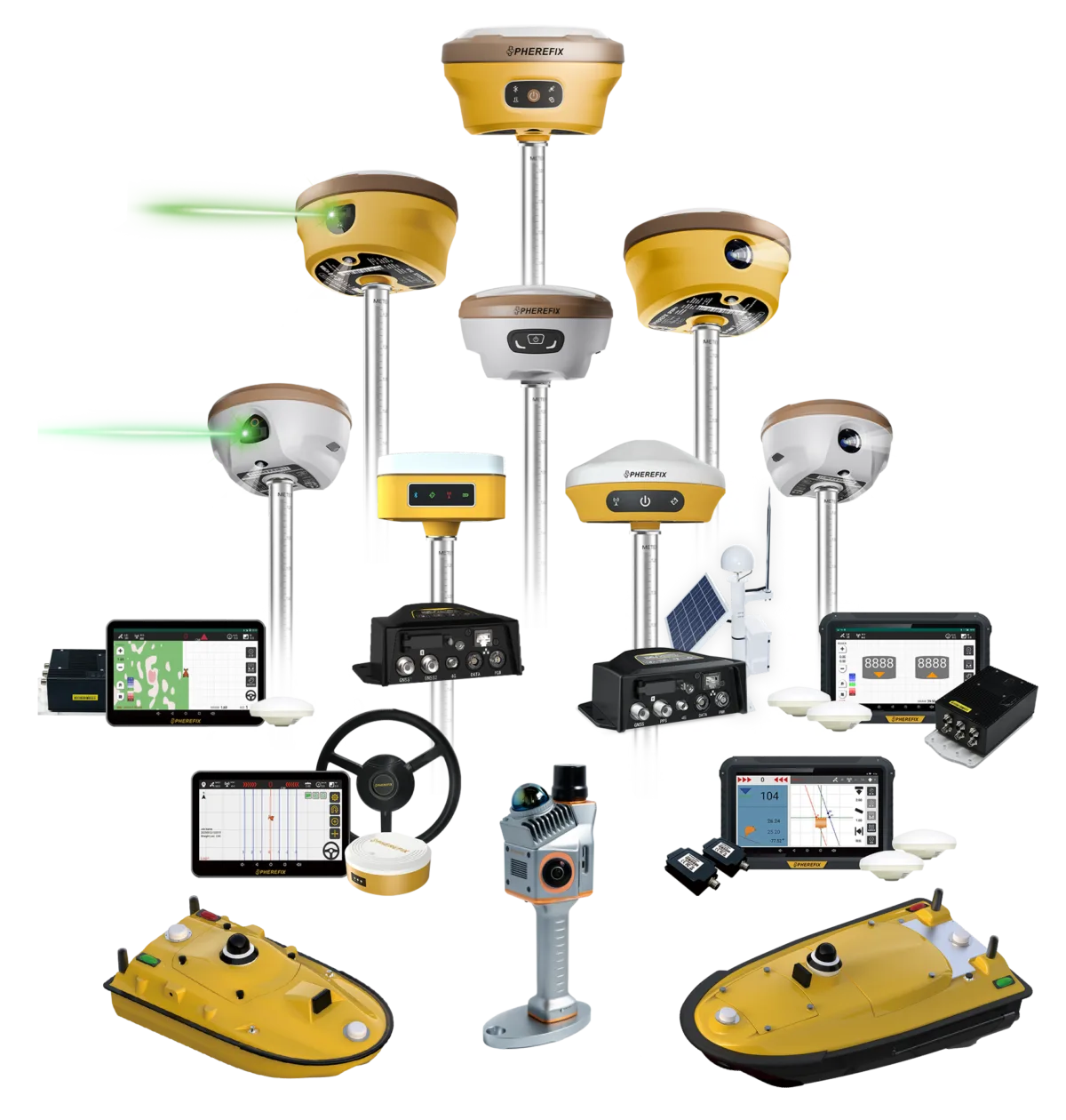
RTK
Real-Time Kinematic positioning
RTK is a GNSS correction workflow used to improve positioning during field work when the receiver, correction source and environment are suitable.
Buyer note: Ask how corrections will be delivered in your region before choosing a receiver kit.
GNSS receiver
GNSS receiver
A GNSS receiver tracks satellite signals and is selected by application, correction workflow, field environment, controller needs and support expectations.
Buyer note: Compare product pages after confirming surveying, agriculture, machine control, monitoring or USV requirements.
Base and rover
Base and rover workflow
A base and rover setup uses one receiver at a known reference point and another receiver in the field to support RTK correction work.
Buyer note: Confirm radio, range, tripod, controller and local workflow requirements before requesting a quotation.
CORS / NTRIP
CORS and NTRIP corrections
CORS and NTRIP workflows can deliver correction data through a network connection when regional coverage, accounts and field connectivity are available.
Buyer note: Check network availability and account requirements before choosing between CORS/NTRIP and base-rover workflows.
IMU tilt
IMU tilt compensation
IMU tilt compensation helps operators collect points with a tilted pole when the receiver and field conditions support the workflow.
Buyer note: Ask whether tilt workflow, calibration and site conditions fit your application.
داتالينك
GNSS datalink
A datalink supports correction or communication workflows between equipment, depending on the product, region and field setup.
Buyer note: Confirm radio frequency, local rules, range expectations and receiver compatibility before ordering.
USV survey
USV hydrographic survey
A USV hydrographic survey workflow uses an unmanned surface vessel and supporting positioning or sensing equipment for water mapping projects.
Buyer note: Share water body, payload, echo sounder, communication and support expectations before model selection.
Machine control GNSS
Machine control GNSS
Machine control GNSS connects positioning, machine guidance and jobsite workflow needs for equipment such as dozers or excavators.
Buyer note: Confirm machine type, site workflow, operator display needs and dealer support before planning a demo.
GNSS monitoring
GNSS deformation monitoring
GNSS deformation monitoring supports long-term observation discussions for infrastructure, slope, dam and structural projects when configured for real site conditions.
Buyer note: Confirm monitored object, communication, power, reporting and support expectations before relying on a configuration.
SLAM LiDAR
SLAM LiDAR mapping
SLAM LiDAR mapping is used for spatial capture workflows where project environment, data deliverables and scanner handling matter.
Buyer note: Share mapping environment, accuracy expectations, software workflow and deliverable format before product comparison.
Next step
Turn definitions into a product shortlist
Share your application, region, model interest, quantity and support expectations so Spherefix can recommend a practical product path.
Send inquiryNext step
Need help turning this GNSS guide into a product choice?
Send your application, region and preferred workflow. Spherefix can recommend suitable RTK receivers, controllers or solution packages.
 English
 French
 German
 Spanish
 Arabic
 Russian
 Portuguese