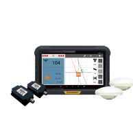
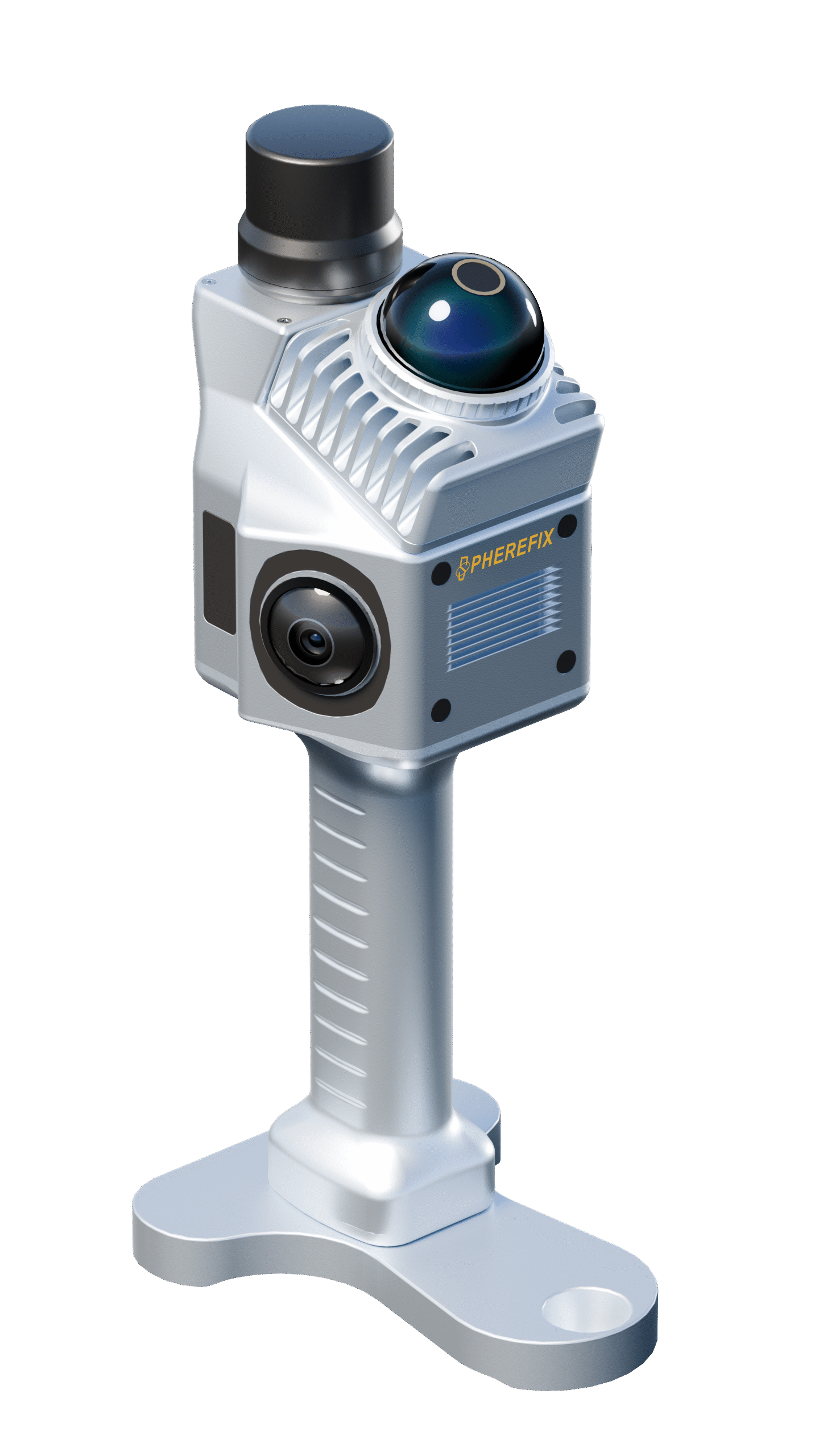
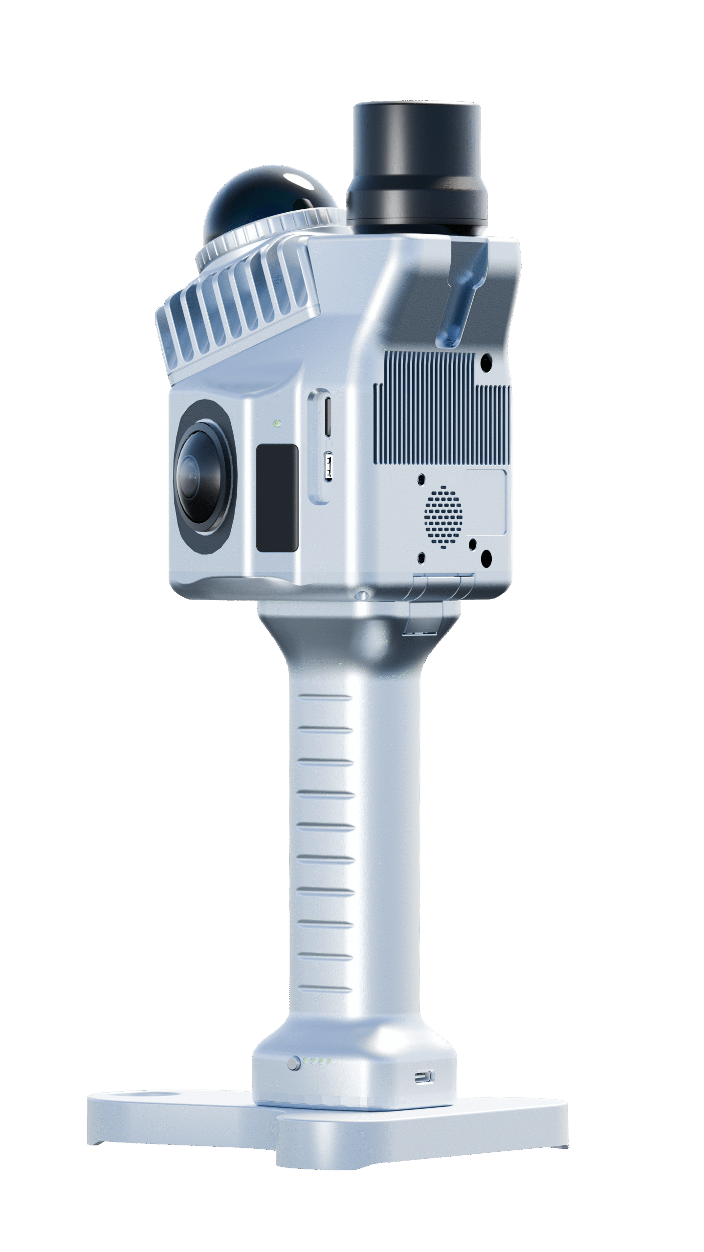
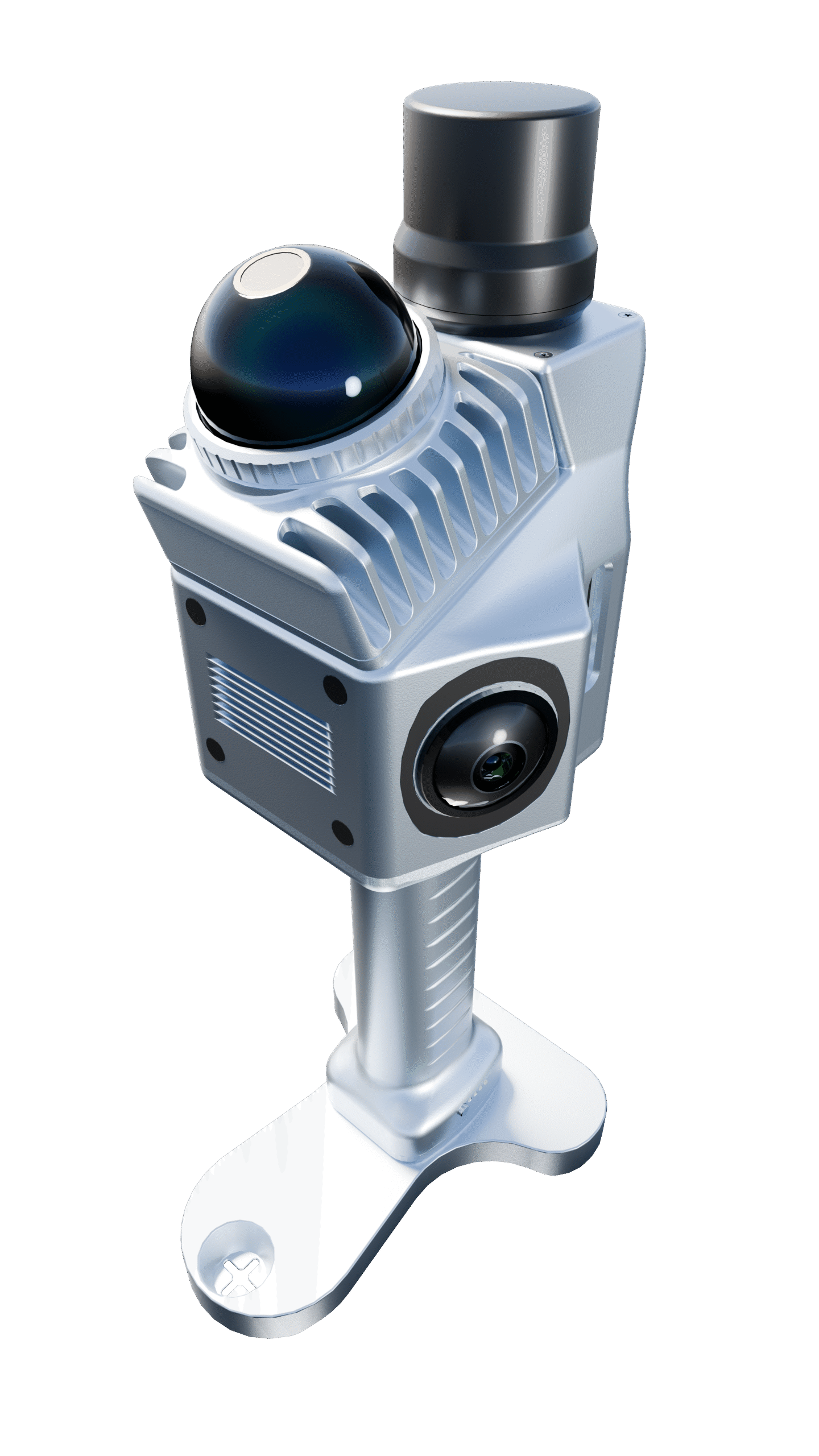
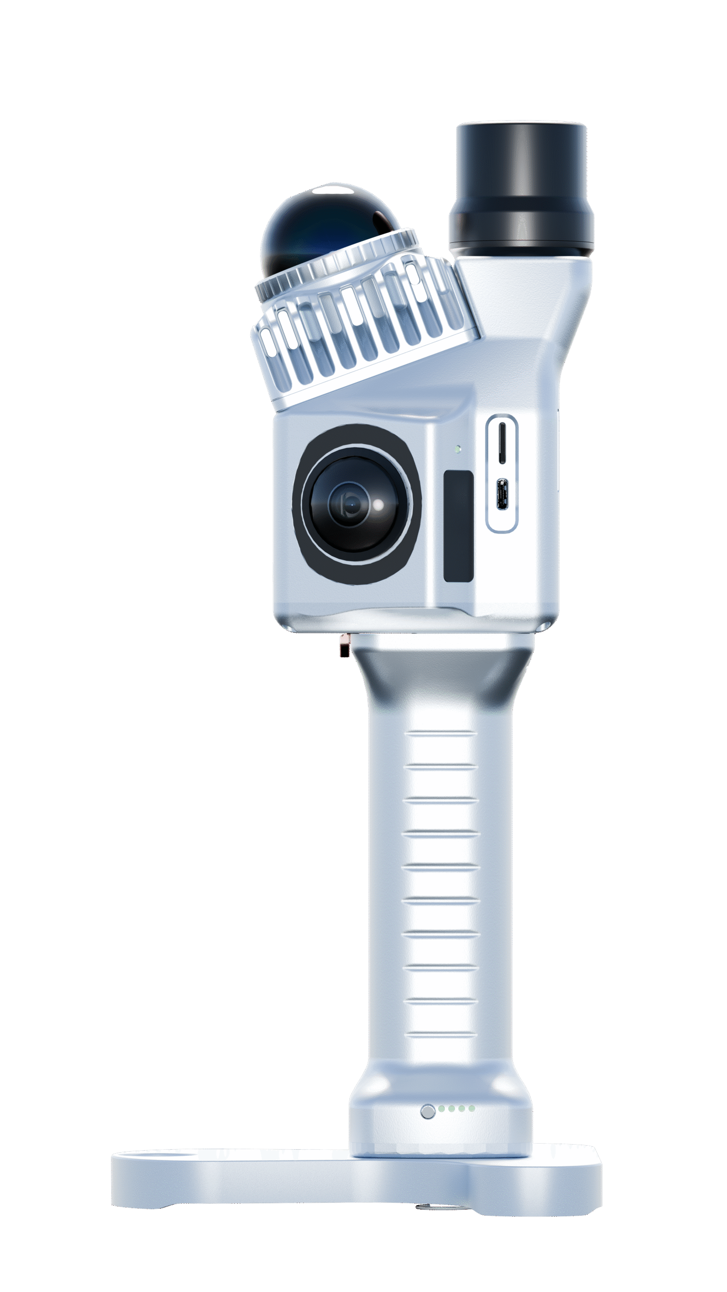
Sphere360 Handheld LiDAR Scanner
Sphere360 is an ultra-light handheld LiDAR system engineered for complex environments. Centered on the Livox Mid-360 sensor and a high-performance SLAM engine, it captures survey-grade 3D point clouds under the harshest conditions. Tight fusion of LiDAR, GNSS and INS, together with the PointFlow processing platform, forms an end-to-end data acquisition and refinement solution that delivers dependable results for urban surveying, infrastructure inspection and digital-twin modelling, indoors and out.
CHARACTERISTIC

All-scene High-precision Positioning

Grab-and-go LiDAR Pack

True-colour, High-definition 3D Capture

Excellent Versatility
SYSTEM COMPOSITION
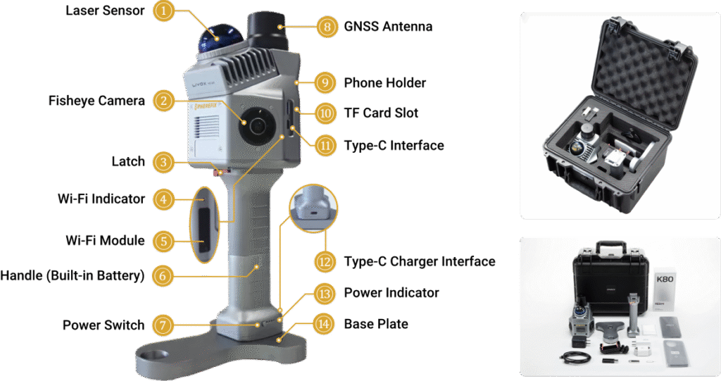
OTHER FEATURES

Multiple Mapping Mode: SLAM; RTK-SLAM; PPK-SLAM

Livox Mid-360 LiDAR: 40m Range (10% reflectivity)

Centimeter-level: ≤5 cm absolute and ≤3 cm relative accuracy

Large storage capacity: 64G internal flash memory; 128G MicroSD card
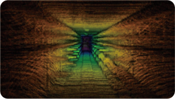
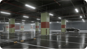
APPLICATION SCENARIO
Underground
Indoor Stairs

Parking Lots
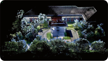
Outdoor Buildings
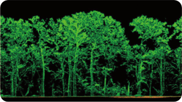
Low-Canopy Forest
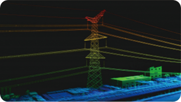
Power Line Patrol

")